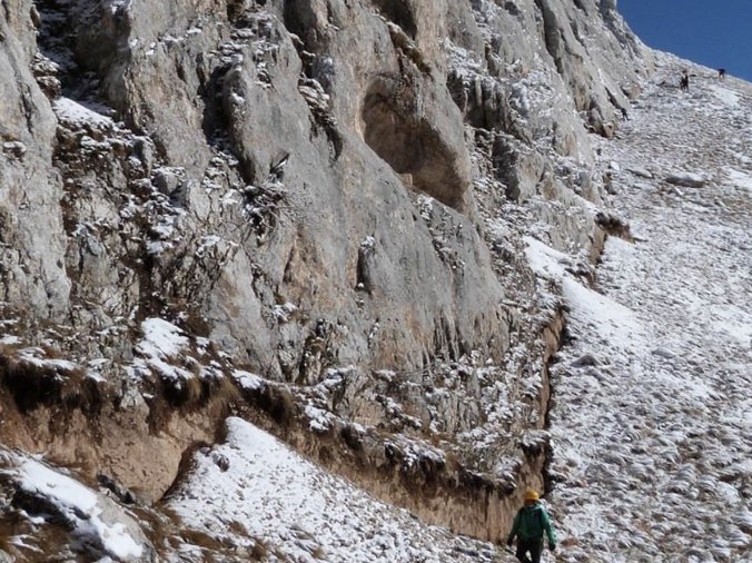
The release of tectonic loading along active faults can generate large earthquakes resulting in surface ruptures and strong ground motions exposing human infrastructures, mountain slopes and the population to high risk. Understanding how the Earth’s crust deformation is accommodated during the seismic cycle is essential for estimating seismic hazard assessment. Combine studies of neotectonics, earthquake geology, paleoseismology and morphotectonics are now widely used to quantify the spatial and temporal slip distributions, in particular in iconic plate boundary faults. Current challenges aim at studying complex fault systems using the multiplicity of dataset with high-spatiotemporal resolution and always improving dating methods to provide a better knowledge of present and future co-seismic rupture extents.
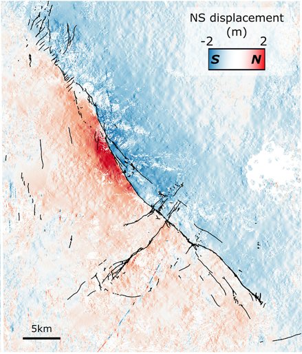
This course focusses on: - the numerous methods used in paleoseismology to retrieve quantitative information on past earthquakes (locations, timing and size), - the analysis of the topography in order to extract information on the longer-term tectonic activity at the timescale of several seismic cycles, - remote sensing methods (InSAR, optical correlation, differential LiDAR) used to analyze the recent surface ruptures.
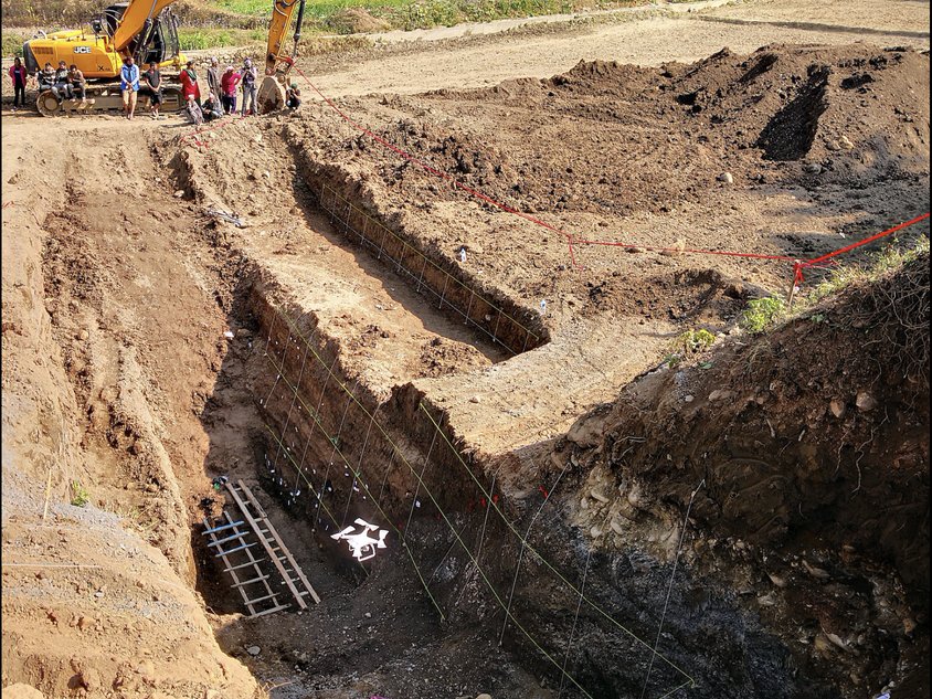
We will analyze paleoseismic trenches, fault escarpments and uplifted terraces to retrieve the age of past earthquakes using bayesian models and learn how morphotectonic analysis, paleoseismology and slip distribution of recent ruptures can provide essential information for the seismic hazard assessment.
Paleoseismology, Tectonics, Earthquakes, GIS, Remote sensing, Geochronology